
AI-native spatial intelligence
Spatial intelligence,
without the GIS team.
Meridex turns spatial data into working applications, dashboards, and stakeholder experiences — configured by AI, refined by you. No analyst, no months of setup, no dated interfaces.
The problem
You have spatial data. Driver locations, asset positions, project footprints, customer addresses, sensor feeds. It’s piling up faster than your team can analyze it.
Traditional GIS tools assume you have a GIS analyst. Most companies don’t. The ones that do find their analysts buried in configuration work that takes weeks per application.
Meanwhile, the visualizations you show executives, customers, and stakeholders look like they’re from 2008.
How it works
Three steps,
no canvas.
- 01
Connect your data.
APIs, MCP servers, live feeds, files, existing GIS sources. Meridex infers the schema and figures out what you have.
- 02
Describe what you need.
Natural language. “Show me drivers acting unusually today.” “Build a public engagement site for this project.” Meridex selects the right skills and generates the application.
- 03
Refine in conversation.
Adjust visualizations, change logic, add layers, restyle, share — all through conversation, not configuration screens.
Built for the way spatial data works now
Live, not static.
Streaming data, real-time updates, API and MCP-native. Built for spatial data as it actually flows today.
Skills, not blank canvases.
Domain knowledge for fleet operations, stakeholder engagement, and infrastructure — built in, not built from scratch.
Decisions, not just maps.
AI surfaces what's worth looking at, not just what's there. Visualization that leads to a decision, not decoration.
Use cases
One platform,
many spatial problems.

Fleet operations
Driver tracking, route analysis, anomaly detection, fraud flags — spatial intelligence for dispatch and operations teams.
In pilot with Yeep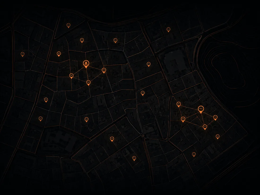
Stakeholder engagement
Public comment maps, multilingual outreach, AI-summarized feedback. GIS-native engagement, configured by AI.
On roadmap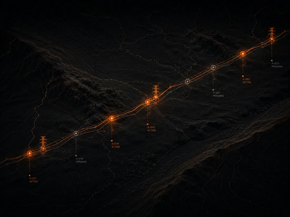
Project & asset intelligence
Land acquisition, permit tracking, infrastructure monitoring — a geospatial view of project status and risk.
On roadmap
Built in the region, for the region
Riyadh-based. Arabic-first. Built for the pace of Vision 2030.
Saudi Arabia is generating spatial data at unprecedented scale across logistics, energy, and giga-projects — served almost entirely by tools that don’t speak Arabic, don’t understand regional regulatory context, and weren’t built for this pace. Meridex is designed for the GCC from day one, with in-Kingdom data residency on the roadmap and PDPL awareness built in.
See what your data
can already do.
We’re onboarding a small number of early customers and partners. Tell us what spatial data you have and what you’d want to do with it — a real person replies within 24 hours.