Spatial intelligence,
without the GIS team.
This is where the company started. Spatial data turned into working applications, dashboards, and stakeholder tools, configured by AI and refined by you. No analyst, no months of setup, no interfaces from 2008.
Live demo
The platform is running.
Go and use it.
Not a video, and not a sandbox with invented data. The application itself, on real spatial data for the study area. It opens in a new tab and takes about ten seconds to get into.
- 01
Open the demo
The button takes you to the application at app.meridex.io.
- 02
Enter your email
Access is email-gated. Allowlisted addresses receive a one-time code. There is no account to create and no password to remember.
- 03
You are inside the tool
The code forwards you straight into the application with the data already loaded. The session lasts 24 hours, so you will not be asked again during a demo.
Access is limited to an allowlist. If your address is not on it yet, email us and we will add you in a minute.
The problem
You have spatial data. Driver locations, asset positions, project footprints, customer addresses, sensor feeds. It is piling up faster than your team can analyse it.
Traditional GIS tools assume you have a GIS analyst. Most companies do not. The ones that do find their analysts buried in configuration work that takes weeks per application.
Meanwhile the visualisations you show executives, customers, and stakeholders look like they are from another decade.
The platform
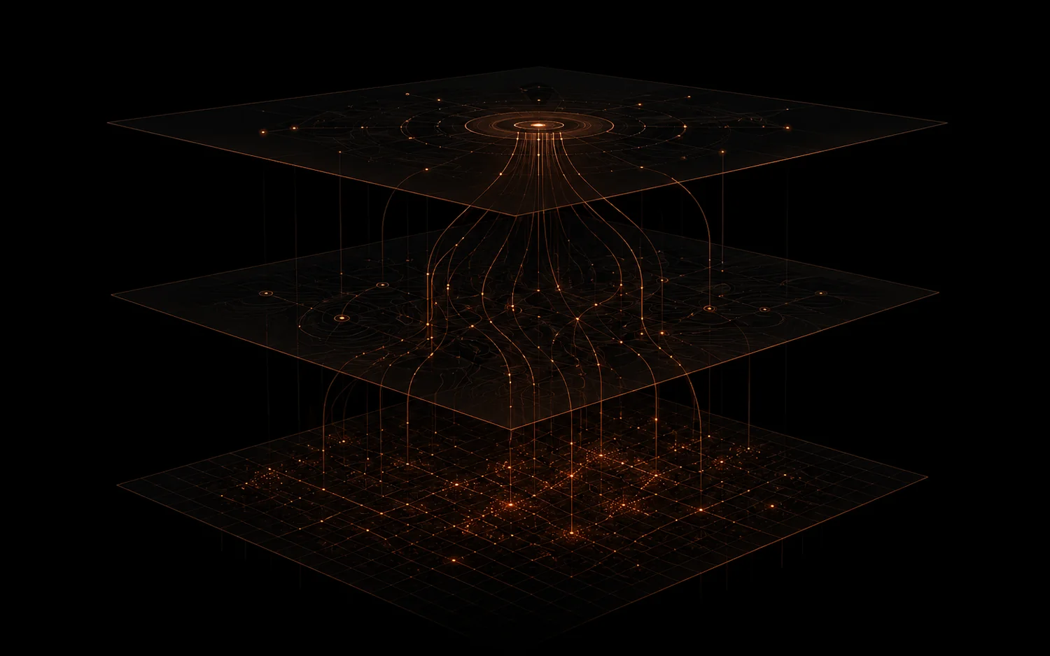
Three layers between your data and a decision.
The spatial practice is built around three architectural choices that separate it from both legacy GIS suites and modern mapping canvases.
Data layer
Connect APIs, MCP servers, files, IoT feeds, and existing GIS sources. Schema is inferred, stored in a PostGIS-backed pipeline, and kept live. Streaming, not uploaded once and left.
Skill layer
Curated domain knowledge per workflow type: components, defaults, KPIs, anomaly rules, visualisation patterns. Skills are the unit of productisation, so a new vertical ships as a new skill rather than a new product.
Agent & interface layer
Describe what you need in natural language; the agent composes the right skills and generates a working application. Refine by conversation. The canvas exists for fine-tuning, not as the front door.
The bet
Agent-first beats
canvas-first.
Every incumbent and every modern competitor starts from a canvas: drag widgets, wire data, configure for weeks. It assumes the user is a specialist with time to spend.
We invert that. You describe the outcome, the agent composes curated skills into a working application, and you refine it in conversation. The canvas is still there for fine-tuning, as the fallback rather than the front door. That one choice is what puts spatial work in reach of a team with no GIS analyst.
Research origins
It started as a thesis.
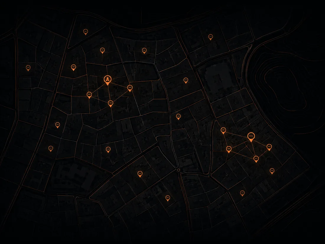
The practice grew out of a GIS masters and a thesis on public participation. The question was why the tools built to bring people into spatial decisions so reliably fail to do it.
That research is why engagement is a named skill in the platform rather than an afterthought. It is why multilingual outreach is a requirement instead of a feature request. And it is why a map that does not change a decision counts as wallpaper here.
It is also why the spatial practice sits inside an AI company rather than beside one. The conclusion was that the interface was the barrier. Agents are the first credible answer to that.
MCP-native
Built to be used by other agents.
The spatial platform consumes data over MCP and exposes its own functionality the same way, so Claude, ChatGPT, and custom agents can query data, generate visualisations, and trigger analyses directly. Built to connect rather than to stand alone.
Security & residency
Data sovereignty matters here and we treat it that way. In-Kingdom data residency is available, the platform is PDPL-aware from the start, and enterprise SSO is on the roadmap. We engage local legal counsel before any enterprise contract. We would rather signal awareness than overpromise.
Have spatial data
and no one to read it?
Tell us what you collect and what decision you wish it informed. A real person replies within one business day.